Bankbottom, Hadfield
Introduction
The photograph on this page of Bankbottom, Hadfield by P L Chadwick as part of the Geograph project.
The Geograph project started in 2005 with the aim of publishing, organising and preserving representative images for every square kilometre of Great Britain, Ireland and the Isle of Man.

There are currently over 7.5m images from over 14,400 individuals and you can help contribute to the project by visiting https://www.geograph.org.uk
Bankbottom, Hadfield
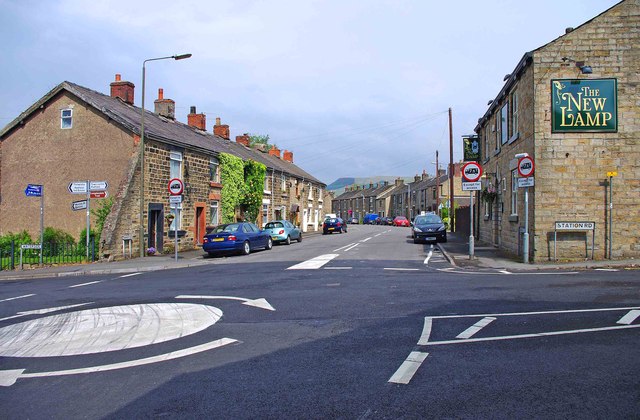
Image: © P L Chadwick Taken: 7 May 2011
The road is typical of the older ones in this area. The stone of the buildings is considerably less black than in the 1960's, when there were many working mills here. The road name is often spelt Bank Bottom, but on the road signs it appears as Bankbottom.
Images are licensed for reuse under creativecommons.org/licenses/by-sa/2.0
Image Location
Latitude
53.464699
Longitude
-1.97089