Radio Mast near Membury
Introduction
The photograph on this page of Radio Mast near Membury by Pam Brophy as part of the Geograph project.
The Geograph project started in 2005 with the aim of publishing, organising and preserving representative images for every square kilometre of Great Britain, Ireland and the Isle of Man.

There are currently over 7.5m images from over 14,400 individuals and you can help contribute to the project by visiting https://www.geograph.org.uk
Radio Mast near Membury
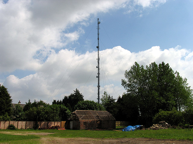
Image: © Pam Brophy Taken: 9 Jul 2005
This square is farmland, woodland and has the M4 and a minor road passing through it. This radio mast next to a derelict farm building that is being restored, is in the south eastern section of the square.
Images are licensed for reuse under creativecommons.org/licenses/by-sa/2.0
Image Location


Leaflet Map data © OpenStreetMap
Latitude
51.487318
Longitude
-1.560137