Pit marker stone, Philadelphia near Washington
Introduction
The photograph on this page of Pit marker stone, Philadelphia near Washington by Malc McDonald as part of the Geograph project.
The Geograph project started in 2005 with the aim of publishing, organising and preserving representative images for every square kilometre of Great Britain, Ireland and the Isle of Man.

There are currently over 7.5m images from over 14,400 individuals and you can help contribute to the project by visiting https://www.geograph.org.uk
Pit marker stone, Philadelphia near Washington
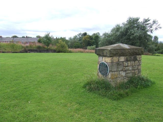
Image: © Malc McDonald Taken: 29 Aug 2011
Coal mining was undertaken at a number of places in County Durham. This stone marks the site of the Dorothea Pit, at Philadelphia, which opened in 1816. It closed in 1956.
Images are licensed for reuse under creativecommons.org/licenses/by-sa/2.0
Image Location
Latitude
54.864998
Longitude
-1.480375