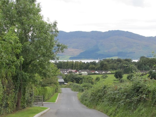
Drumreagh Road north of Ballymoney
Introduction
The photograph on this page of Drumreagh Road north of Ballymoney by Eric Jones as part of the Geograph project.
The Geograph project started in 2005 with the aim of publishing, organising and preserving representative images for every square kilometre of Great Britain, Ireland and the Isle of Man.
There are currently over 7.5m images from over 14,400 individuals and you can help contribute to the project by visiting https://www.geograph.org.uk

Image: © Eric Jones Taken: 5 Sep 2011
The Cooley Peninsula and Carlingford Lough can be seen in the background. In the Lough the border between the Republic and the UK has never been properly delineated. In the 1980s, during "The Troubles", a British Navy gun boat was stationed in the Carlingford Lough to stop the ferrying of arms and explosives by the IRA northwards from the Republic. On one famous occasion this led to a stand off with the Irish Navy when the British gun boat attempted to intercept the yacht of Charles Haughey, the flamboyant then Irish Prime Minister, which was sailing out of the port of Carlingford flying the Irish Tricolour. Haughey promptly summoned the Irish Naval Service patrol vessel L.E, Eithne - which was all too conveniently located close by - and which proceeded to block the passage of the Royal Navy ship. Image

