Eastern edge of Pontrilas Business Park
Introduction
The photograph on this page of Eastern edge of Pontrilas Business Park by Jaggery as part of the Geograph project.
The Geograph project started in 2005 with the aim of publishing, organising and preserving representative images for every square kilometre of Great Britain, Ireland and the Isle of Man.

There are currently over 7.5m images from over 14,400 individuals and you can help contribute to the project by visiting https://www.geograph.org.uk
Eastern edge of Pontrilas Business Park
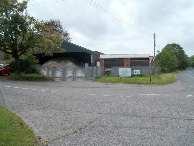
Image: © Jaggery Taken: 6 Sep 2011
Viewed from the corner of the A465. A Herefordshire Council Property Services notice on the fence on the right states that light industrial units are available. There is a good supply of rock salt in the Roads Department premises on the left. After three snowier than average winters in a row, staff who grit the roads are probably hoping for a less snowy winter in 2011-2012 !
Images are licensed for reuse under creativecommons.org/licenses/by-sa/2.0
Image Location
Latitude
51.944537
Longitude
-2.875759