Alton King's Pond Gauging Station
Introduction
The photograph on this page of Alton King's Pond Gauging Station by Colin Smith as part of the Geograph project.
The Geograph project started in 2005 with the aim of publishing, organising and preserving representative images for every square kilometre of Great Britain, Ireland and the Isle of Man.

There are currently over 7.5m images from over 14,400 individuals and you can help contribute to the project by visiting https://www.geograph.org.uk
Alton King's Pond Gauging Station
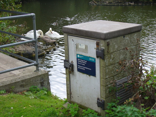
Image: © Colin Smith Taken: 3 Sep 2011
Site I.D. 3012 with a more precise grid reference than most people can arrive at. SU72353952. King's Pond takes its name from a William King who had a water mill built here on the River Wey.
Images are licensed for reuse under creativecommons.org/licenses/by-sa/2.0
Image Location
Latitude
51.150467
Longitude
-0.967118