Benchmark and other features
Introduction
The photograph on this page of Benchmark and other features by Neil Owen as part of the Geograph project.
The Geograph project started in 2005 with the aim of publishing, organising and preserving representative images for every square kilometre of Great Britain, Ireland and the Isle of Man.

There are currently over 7.5m images from over 14,400 individuals and you can help contribute to the project by visiting https://www.geograph.org.uk
Benchmark and other features
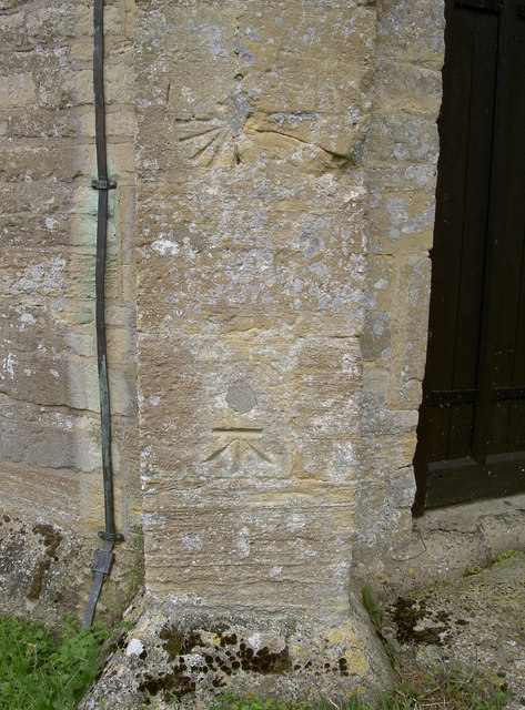
Image: © Neil Owen Taken: 3 Sep 2011
The tower of St Giles church, Standlake, has a fine cutmark; alongside it are what appears to be the mere trace of a circle with a concrete plug near the centre, and above that a sundial of sorts. See http://www.bench-marks.org.uk/bm39406 for the Benchamrk Database, and Image] for a look up the tower.
Images are licensed for reuse under creativecommons.org/licenses/by-sa/2.0
Image Location
Latitude
51.729805
Longitude
-1.426289