Southridge House from the lane below
Introduction
The photograph on this page of Southridge House from the lane below by Stuart Logan as part of the Geograph project.
The Geograph project started in 2005 with the aim of publishing, organising and preserving representative images for every square kilometre of Great Britain, Ireland and the Isle of Man.

There are currently over 7.5m images from over 14,400 individuals and you can help contribute to the project by visiting https://www.geograph.org.uk
Southridge House from the lane below
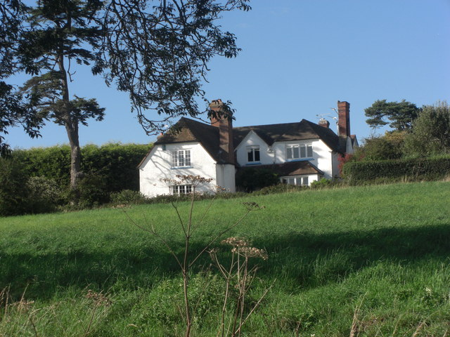
Image: © Stuart Logan Taken: 4 Sep 2011
We stopped to let some pheasants cross the lane and this striking property was fronting onto the lane higher up the slope. On the gate it states 'house' although the map says 'farm'. Late 17th C with 19th C additions, Grade II listed. English Heritage Building ID: 398268. See: http://www.britishlistedbuildings.co.uk/en-398268-southridge-house-streatley
Images are licensed for reuse under creativecommons.org/licenses/by-sa/2.0
Image Location
Latitude
51.501948
Longitude
-1.16853