Allotments at Lees Barn Road
Introduction
The photograph on this page of Allotments at Lees Barn Road by Alan Murray-Rust as part of the Geograph project.
The Geograph project started in 2005 with the aim of publishing, organising and preserving representative images for every square kilometre of Great Britain, Ireland and the Isle of Man.

There are currently over 7.5m images from over 14,400 individuals and you can help contribute to the project by visiting https://www.geograph.org.uk
Allotments at Lees Barn Road
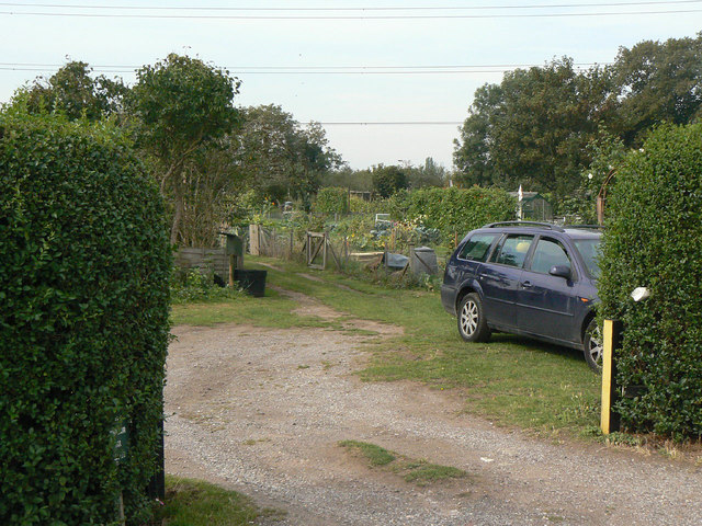
Image: © Alan Murray-Rust Taken: 2 Sep 2011
These lie well outside the village, in a corner between Nottingham Road and the A52 Bypass.
Images are licensed for reuse under creativecommons.org/licenses/by-sa/2.0
Image Location
Latitude
52.942098
Longitude
-1.05325