The new road and entrance layout near Richborough power station
Introduction
The photograph on this page of The new road and entrance layout near Richborough power station by Nick Smith as part of the Geograph project.
The Geograph project started in 2005 with the aim of publishing, organising and preserving representative images for every square kilometre of Great Britain, Ireland and the Isle of Man.

There are currently over 7.5m images from over 14,400 individuals and you can help contribute to the project by visiting https://www.geograph.org.uk
The new road and entrance layout near Richborough power station
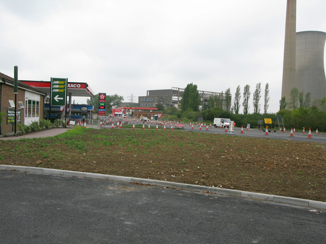
Image: © Nick Smith Taken: 4 Sep 2011
Because of road widening and improvements the layout has changed, originally the garage, Subway restaurant (formerly a Little Chef) and Pfizer social club entrances were very close together, now the latter entrance is ~100m to the north - see Image
Images are licensed for reuse under creativecommons.org/licenses/by-sa/2.0
Image Location
Latitude
51.311035
Longitude
1.35018