Redevelopment of the Lord of the Manor roundabout
Introduction
The photograph on this page of Redevelopment of the Lord of the Manor roundabout by Nick Smith as part of the Geograph project.
The Geograph project started in 2005 with the aim of publishing, organising and preserving representative images for every square kilometre of Great Britain, Ireland and the Isle of Man.

There are currently over 7.5m images from over 14,400 individuals and you can help contribute to the project by visiting https://www.geograph.org.uk
Redevelopment of the Lord of the Manor roundabout
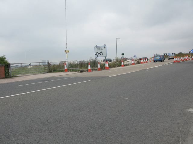
Image: © Nick Smith Taken: 4 Sep 2011
Part of the East Kent Access phase 2, a new section of road joins the roundabout from the west.
Images are licensed for reuse under creativecommons.org/licenses/by-sa/2.0
Image Location
Latitude
51.336104
Longitude
1.379293