Wheat Growing on Farmland near Poughley
Introduction
The photograph on this page of Wheat Growing on Farmland near Poughley by Pam Brophy as part of the Geograph project.
The Geograph project started in 2005 with the aim of publishing, organising and preserving representative images for every square kilometre of Great Britain, Ireland and the Isle of Man.

There are currently over 7.5m images from over 14,400 individuals and you can help contribute to the project by visiting https://www.geograph.org.uk
Wheat Growing on Farmland near Poughley
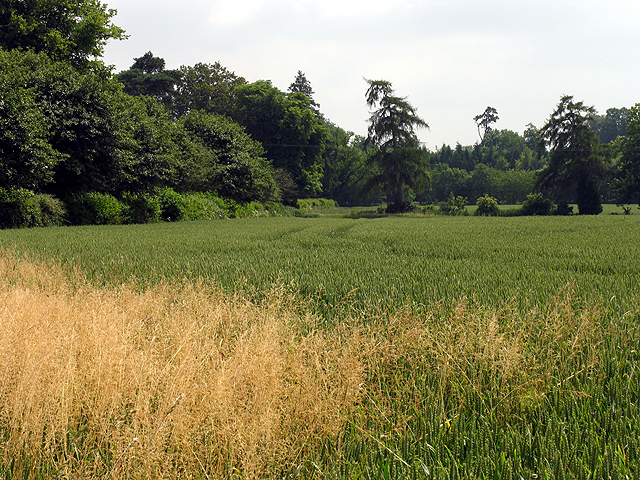
Image: © Pam Brophy Taken: 9 Jul 2005
This field containing the footpath is in the north western section of the square. The square being mostly farmland with some woodland, residences, farm buildings and three minor roads and the B4000. The crop appears to be barley.
Images are licensed for reuse under creativecommons.org/licenses/by-sa/2.0
Image Location


Leaflet Map data © OpenStreetMap
Latitude
51.469652
Longitude
-1.510595