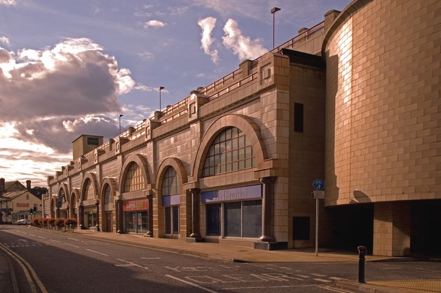
Cromwell Road
Introduction
The photograph on this page of Cromwell Road by Ian Capper as part of the Geograph project.
The Geograph project started in 2005 with the aim of publishing, organising and preserving representative images for every square kilometre of Great Britain, Ireland and the Isle of Man.
There are currently over 7.5m images from over 14,400 individuals and you can help contribute to the project by visiting https://www.geograph.org.uk

Image: © Ian Capper Taken: 29 Aug 2011
Looking along the Belfry Shopping Centre, with the exit from the centre carpark on the right. Originally called West Street (and appearing as such on the 1871 large scale map of Redhill), with housing either side, by 1895 it had been renamed Cromwell Road. Over the years since it has seen much redevelopment, culminating in the building of the Belfry in 1991. Viewed against the late afternoon sun. In the background is Le Papillon (see Image), a recent reincarnation of a pub called The Dragon (see Image), itself previously The George and Dragon, one of the few remnants of the old road, dating from before 1878.

