Gate at Ugbrooke House
Introduction
The photograph on this page of Gate at Ugbrooke House by Hugh Craddock as part of the Geograph project.
The Geograph project started in 2005 with the aim of publishing, organising and preserving representative images for every square kilometre of Great Britain, Ireland and the Isle of Man.

There are currently over 7.5m images from over 14,400 individuals and you can help contribute to the project by visiting https://www.geograph.org.uk
Gate at Ugbrooke House
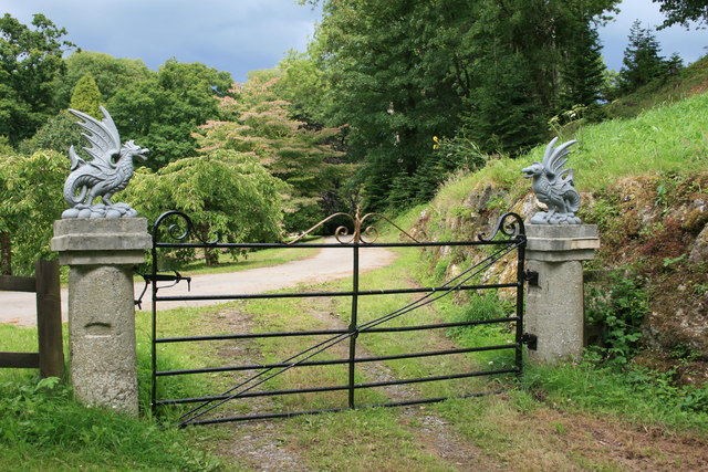
Image: © Hugh Craddock Taken: 21 Jul 2011
Gate and pillars at the east end of the Higher Water.
Images are licensed for reuse under creativecommons.org/licenses/by-sa/2.0
Image Location
Latitude
50.593422
Longitude
-3.587229