Queen's Drive
Introduction
The photograph on this page of Queen's Drive by Hugh Craddock as part of the Geograph project.
The Geograph project started in 2005 with the aim of publishing, organising and preserving representative images for every square kilometre of Great Britain, Ireland and the Isle of Man.

There are currently over 7.5m images from over 14,400 individuals and you can help contribute to the project by visiting https://www.geograph.org.uk
Queen's Drive
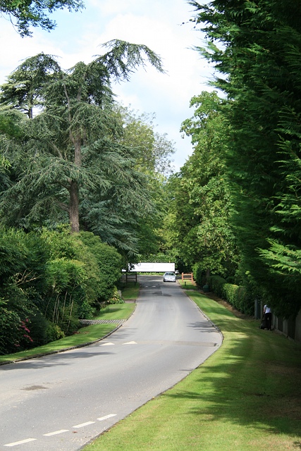
Image: © Hugh Craddock Taken: 9 Jul 2011
Queen's Drive, looking west to the junction with Copsem Lane, seen from the junction with Stokesheath Road North. Both Queen's Drive and Stokesheath Road are private roads on the Crown Estate development.
Images are licensed for reuse under creativecommons.org/licenses/by-sa/2.0
Image Location
Latitude
51.344563
Longitude
-0.363306