Track through grazing land near Coelbren
Introduction
The photograph on this page of Track through grazing land near Coelbren by Jaggery as part of the Geograph project.
The Geograph project started in 2005 with the aim of publishing, organising and preserving representative images for every square kilometre of Great Britain, Ireland and the Isle of Man.

There are currently over 7.5m images from over 14,400 individuals and you can help contribute to the project by visiting https://www.geograph.org.uk
Track through grazing land near Coelbren
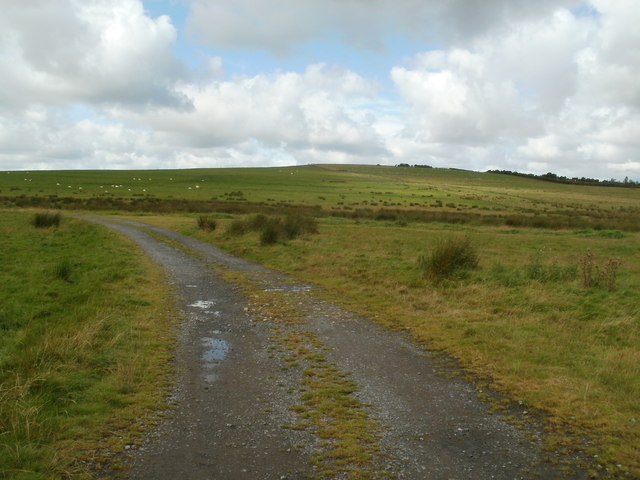
Image: © Jaggery Taken: 4 Sep 2011
Viewed from Onllwyn Road near the Ashgrove Inn. http://www.geograph.org.uk/photo/2586900 The land, at about 800 feet (c250 metres) above sea level, is used for grazing sheep (the white dots near the skyline, on the left).
Images are licensed for reuse under creativecommons.org/licenses/by-sa/2.0
Image Location


Leaflet Map data © OpenStreetMap
Latitude
51.786537
Longitude
-3.68024