Benedick Cottage
Introduction
The photograph on this page of Benedick Cottage by Derek Harper as part of the Geograph project.
The Geograph project started in 2005 with the aim of publishing, organising and preserving representative images for every square kilometre of Great Britain, Ireland and the Isle of Man.

There are currently over 7.5m images from over 14,400 individuals and you can help contribute to the project by visiting https://www.geograph.org.uk
Benedick Cottage
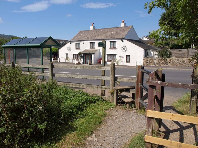
Image: © Derek Harper Taken: 2 Sep 2011
A view of the cottage shown in http://www.geograph.org.uk/search.php?i=24589750 , from the northwest end of Ilsington Footpath 54, with a bus stop on the old A38.
Images are licensed for reuse under creativecommons.org/licenses/by-sa/2.0
Image Location
Latitude
50.559522
Longitude
-3.670378