Flaggey Copse
Introduction
The photograph on this page of Flaggey Copse by Pam Brophy as part of the Geograph project.
The Geograph project started in 2005 with the aim of publishing, organising and preserving representative images for every square kilometre of Great Britain, Ireland and the Isle of Man.

There are currently over 7.5m images from over 14,400 individuals and you can help contribute to the project by visiting https://www.geograph.org.uk
Flaggey Copse
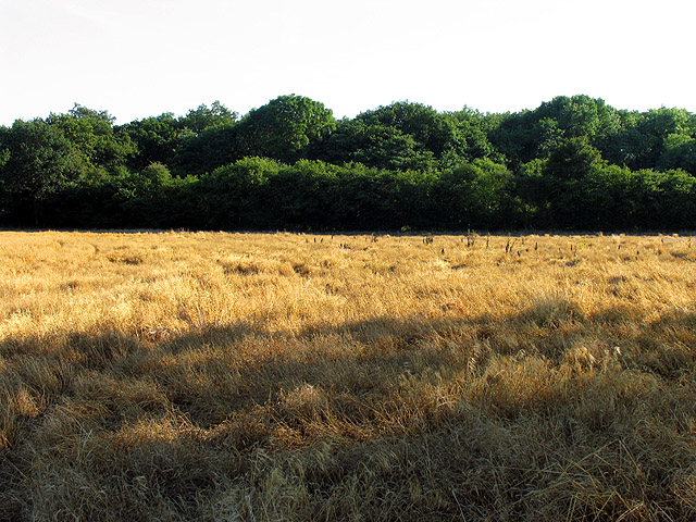
Image: © Pam Brophy Taken: 10 Jul 2005
This square is all farmland. The farmer has erected signs stressing that there is no right to roam freely and that the official footpath should be adhered to. While this is all well and good, there are no official footpath signs and a number of different tracks in the fields. The copse is viewed from the north east.
Images are licensed for reuse under creativecommons.org/licenses/by-sa/2.0
Image Location


Leaflet Map data © OpenStreetMap
Latitude
51.3683
Longitude
-1.22577