Back Lane, Malvern
Introduction
The photograph on this page of Back Lane, Malvern by Bob Embleton as part of the Geograph project.
The Geograph project started in 2005 with the aim of publishing, organising and preserving representative images for every square kilometre of Great Britain, Ireland and the Isle of Man.

There are currently over 7.5m images from over 14,400 individuals and you can help contribute to the project by visiting https://www.geograph.org.uk
Back Lane, Malvern
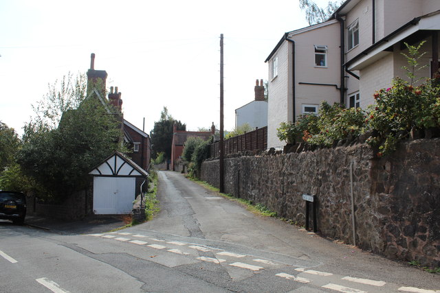
Image: © Bob Embleton Taken: 1 Sep 2011
The lane runs along a level contour on the side of the Malvern Hills between the Worcester Road above and Graham Road below. Originally providing services to the rear gardens of properties on the two main roads, it has now become the access road to houses built on the old gardens. Photographed at its northern end where it meets Zetland Road. The fat end of the lane emerges onto Edith Walk close to the new Waitrose supermarket.
Images are licensed for reuse under creativecommons.org/licenses/by-sa/2.0
Image Location
Latitude
52.117089
Longitude
-2.325337