View north to Peppering High Barn along Peppering Lane
Introduction
The photograph on this page of View north to Peppering High Barn along Peppering Lane by Stefan Czapski as part of the Geograph project.
The Geograph project started in 2005 with the aim of publishing, organising and preserving representative images for every square kilometre of Great Britain, Ireland and the Isle of Man.

There are currently over 7.5m images from over 14,400 individuals and you can help contribute to the project by visiting https://www.geograph.org.uk
View north to Peppering High Barn along Peppering Lane
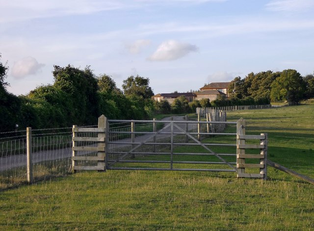
Image: © Stefan Czapski Taken: 4 Sep 2011
High Barn stands in a fairly isolated situation on the downs above Burpham. For a closer look at the flint-built farm buildings see http://www.geograph.org.uk/photo/2586632
Images are licensed for reuse under creativecommons.org/licenses/by-sa/2.0
Image Location
Latitude
50.879663
Longitude
-0.520519