Southern end of the A4109, Glynneath
Introduction
The photograph on this page of Southern end of the A4109, Glynneath by Jaggery as part of the Geograph project.
The Geograph project started in 2005 with the aim of publishing, organising and preserving representative images for every square kilometre of Great Britain, Ireland and the Isle of Man.

There are currently over 7.5m images from over 14,400 individuals and you can help contribute to the project by visiting https://www.geograph.org.uk
Southern end of the A4109, Glynneath
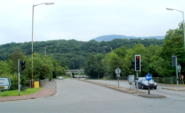
Image: © Jaggery Taken: 31 Jul 2011
Viewed from the corner of High Street. The A4109, from Aberdulais, heads towards its southern end ahead at the junction with the A465. The railings near the traffic lights are on the bridge carrying the A4109 over the River Neath.
Images are licensed for reuse under creativecommons.org/licenses/by-sa/2.0
Image Location
Latitude
51.746967
Longitude
-3.616481