Pennington, war memorial
Introduction
The photograph on this page of Pennington, war memorial by Mike Faherty as part of the Geograph project.
The Geograph project started in 2005 with the aim of publishing, organising and preserving representative images for every square kilometre of Great Britain, Ireland and the Isle of Man.

There are currently over 7.5m images from over 14,400 individuals and you can help contribute to the project by visiting https://www.geograph.org.uk
Pennington, war memorial
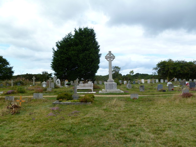
Image: © Mike Faherty Taken: 4 Sep 2011
In the churchyard of St. Mark's; listing the names of 27 fallen in WWI, and 15 in WWII.
Images are licensed for reuse under creativecommons.org/licenses/by-sa/2.0
Image Location
Latitude
50.754773
Longitude
-1.563888