Glynneath Social Club
Introduction
The photograph on this page of Glynneath Social Club by Jaggery as part of the Geograph project.
The Geograph project started in 2005 with the aim of publishing, organising and preserving representative images for every square kilometre of Great Britain, Ireland and the Isle of Man.

There are currently over 7.5m images from over 14,400 individuals and you can help contribute to the project by visiting https://www.geograph.org.uk
Glynneath Social Club
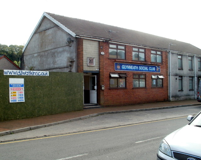
Image: © Jaggery Taken: 4 Sep 2011
Located on the south side of High Street, a few metres from Bethel Baptist chapel. http://www.geograph.org.uk/photo/1882185
Images are licensed for reuse under creativecommons.org/licenses/by-sa/2.0
Image Location
Latitude
51.746029
Longitude
-3.619345