Farmland near Brimpton
Introduction
The photograph on this page of Farmland near Brimpton by Pam Brophy as part of the Geograph project.
The Geograph project started in 2005 with the aim of publishing, organising and preserving representative images for every square kilometre of Great Britain, Ireland and the Isle of Man.

There are currently over 7.5m images from over 14,400 individuals and you can help contribute to the project by visiting https://www.geograph.org.uk
Farmland near Brimpton
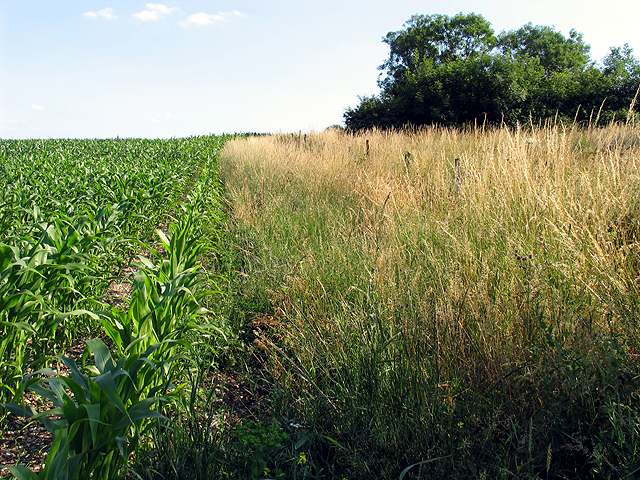
Image: © Pam Brophy Taken: 10 Jul 2005
This square being mostly farmland, has a public bridleway and a footpath running through it. The footpath though, is not walkable at this time as the farmer has sown corn over the path.
Images are licensed for reuse under creativecommons.org/licenses/by-sa/2.0
Image Location


Leaflet Map data © OpenStreetMap
Latitude
51.38584
Longitude
-1.203832