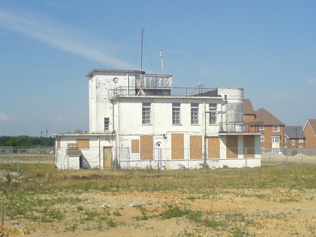
Airfield Traffic Control Building
Introduction
The photograph on this page of Airfield Traffic Control Building by Hywel Williams as part of the Geograph project.
The Geograph project started in 2005 with the aim of publishing, organising and preserving representative images for every square kilometre of Great Britain, Ireland and the Isle of Man.
There are currently over 7.5m images from over 14,400 individuals and you can help contribute to the project by visiting https://www.geograph.org.uk

Image: © Hywel Williams Taken: 10 Jul 2005
During the Second World War, this square contained an air field. Since then, the area has been redeveloped and the air base now only remains in the name of surrounding buildings built since closure (The Spitfire, Pilot's Bistro). Geographically, this is one palpable reminder of the area's previous use - an air traffic control building, in the middle of a new housing estate. A listed building, it is believed that this building is about to be converted into a restaurant.

