Wharf near Slade Heath - Staffordshire and Worcestershire Canal
Introduction
The photograph on this page of Wharf near Slade Heath - Staffordshire and Worcestershire Canal by John M as part of the Geograph project.
The Geograph project started in 2005 with the aim of publishing, organising and preserving representative images for every square kilometre of Great Britain, Ireland and the Isle of Man.

There are currently over 7.5m images from over 14,400 individuals and you can help contribute to the project by visiting https://www.geograph.org.uk
Wharf near Slade Heath - Staffordshire and Worcestershire Canal
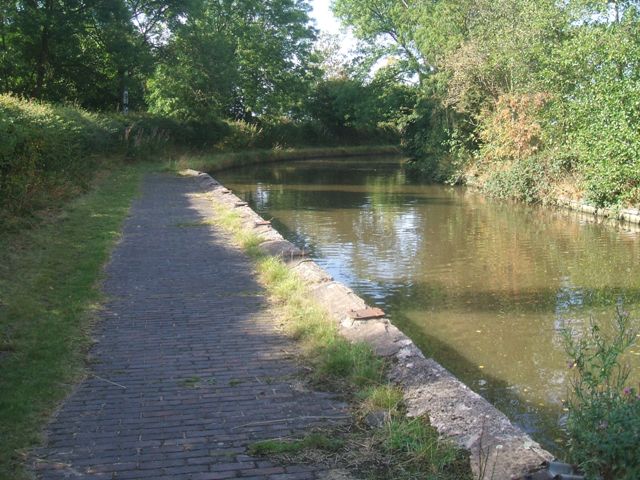
Image: © John M Taken: 4 Sep 2011
The wharf was probably associated with the nearby Slade Heath water pumping station.
Images are licensed for reuse under creativecommons.org/licenses/by-sa/2.0
Image Location
Latitude
52.661018
Longitude
-2.120749