Highrise Flats
Introduction
The photograph on this page of Highrise Flats by Carl Baker as part of the Geograph project.
The Geograph project started in 2005 with the aim of publishing, organising and preserving representative images for every square kilometre of Great Britain, Ireland and the Isle of Man.

There are currently over 7.5m images from over 14,400 individuals and you can help contribute to the project by visiting https://www.geograph.org.uk
Highrise Flats
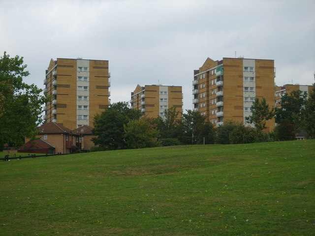
Image: © Carl Baker Taken: 20 Sep 2006
These flats are on Kingshurst Way photographed from near the River Cole.
Images are licensed for reuse under creativecommons.org/licenses/by-sa/2.0
Image Location
Latitude
52.489659
Longitude
-1.75401