Brimpton Baptist Church: Brimpton
Introduction
The photograph on this page of Brimpton Baptist Church: Brimpton by Pam Brophy as part of the Geograph project.
The Geograph project started in 2005 with the aim of publishing, organising and preserving representative images for every square kilometre of Great Britain, Ireland and the Isle of Man.

There are currently over 7.5m images from over 14,400 individuals and you can help contribute to the project by visiting https://www.geograph.org.uk
Brimpton Baptist Church: Brimpton
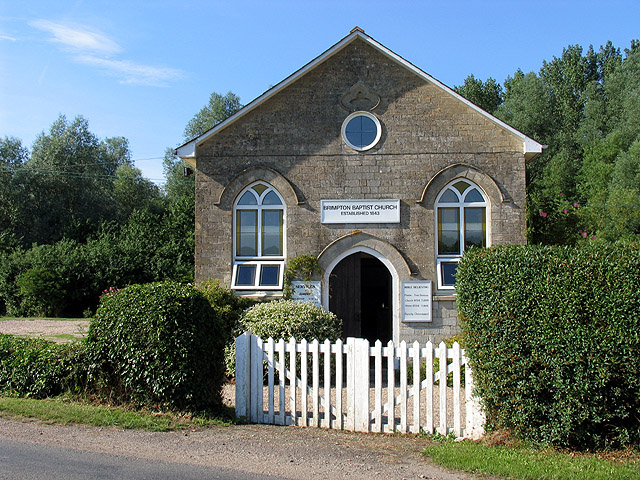
Image: © Pam Brophy Taken: 10 Jul 2005
This Baptist church is on the north side of the road into Brimpton, just south of the bridge. The square contains mostly farmland, a minor road, residences, a mill, Manor Farm, streams and woodland.
Images are licensed for reuse under creativecommons.org/licenses/by-sa/2.0
Image Location


Leaflet Map data © OpenStreetMap
Latitude
51.385961
Longitude
-1.201803