Converted building of St Anne's Convent, Angate Street
Introduction
The photograph on this page of Converted building of St Anne's Convent, Angate Street by Andrew Curtis as part of the Geograph project.
The Geograph project started in 2005 with the aim of publishing, organising and preserving representative images for every square kilometre of Great Britain, Ireland and the Isle of Man.

There are currently over 7.5m images from over 14,400 individuals and you can help contribute to the project by visiting https://www.geograph.org.uk
Converted building of St Anne's Convent, Angate Street
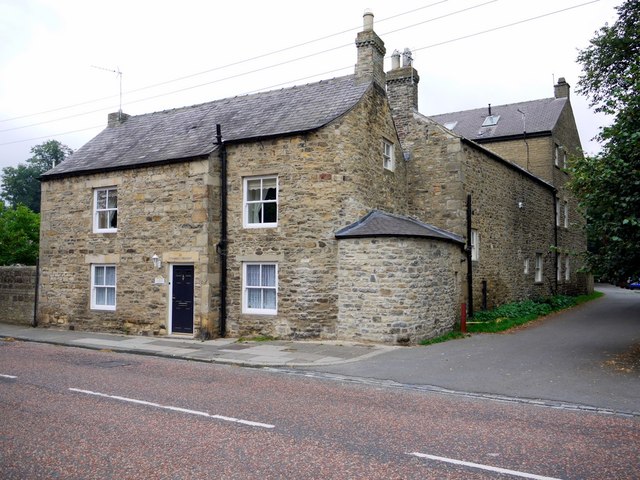
Image: © Andrew Curtis Taken: 2 Sep 2011
St Anne's Convent and girls' school was established in 1892. It was sold for development in 2004. Several of the original buildings were converted for private houses and land to the rear has been developed with new houses and apartments. The road by the side leads to the Demesne Mill long-stay car park and picnic area Image There is a photo from the same location here Image
Images are licensed for reuse under creativecommons.org/licenses/by-sa/2.0
Image Location
Latitude
54.732244
Longitude
-1.882414