The Mexboro Public House Crossroads.
Introduction
The photograph on this page of The Mexboro Public House Crossroads. by Bill Henderson as part of the Geograph project.
The Geograph project started in 2005 with the aim of publishing, organising and preserving representative images for every square kilometre of Great Britain, Ireland and the Isle of Man.

There are currently over 7.5m images from over 14,400 individuals and you can help contribute to the project by visiting https://www.geograph.org.uk
The Mexboro Public House Crossroads.
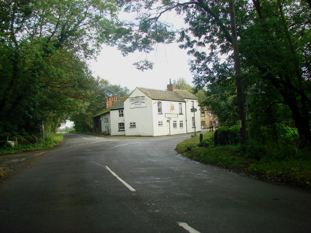
Image: © Bill Henderson Taken: 12 Oct 2006
This view of the Mexboro pub is taken from Newmarket Lane. The lane running off to the immediate left of the photographer is Hungate Lane, the road running down the left hand side of the pub is Park lane and the lane turning right at the pub is Watergate.
Images are licensed for reuse under creativecommons.org/licenses/by-sa/2.0
Image Location


Leaflet Map data © OpenStreetMap
Latitude
53.727223
Longitude
-1.425537