Polegate United Reformed Church hall
Introduction
The photograph on this page of Polegate United Reformed Church hall by Robin Webster as part of the Geograph project.
The Geograph project started in 2005 with the aim of publishing, organising and preserving representative images for every square kilometre of Great Britain, Ireland and the Isle of Man.

There are currently over 7.5m images from over 14,400 individuals and you can help contribute to the project by visiting https://www.geograph.org.uk
Polegate United Reformed Church hall
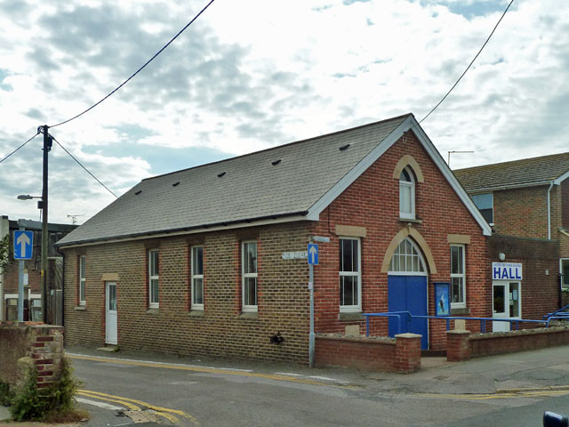
Image: © Robin Webster Taken: 3 Sep 2011
On the corner of Victoria Road and Cross Street, this is a short distance away from the church, which is in High Street. The church was formerly the Congregational Church.
Images are licensed for reuse under creativecommons.org/licenses/by-sa/2.0
Image Location
Latitude
50.822504
Longitude
0.243667