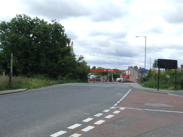
Site of level crossing, Fencehouses
Introduction
The photograph on this page of Site of level crossing, Fencehouses by Malc McDonald as part of the Geograph project.
The Geograph project started in 2005 with the aim of publishing, organising and preserving representative images for every square kilometre of Great Britain, Ireland and the Isle of Man.
There are currently over 7.5m images from over 14,400 individuals and you can help contribute to the project by visiting https://www.geograph.org.uk

Image: © Malc McDonald Taken: 29 Aug 2011
The railway through Fencehouses lost its regular passenger trains in the 1960s. The line remained in use, both for freight trains and occasionally for diverted passenger trains on days when the main line through Durham and Chester-le-Street was closed for engineering work. The line became disused in around 1992. Although no maintenance work was carried out, this railway line was still owned by Network Rail. When this image was taken, it was being retained in case there was a need to bring it back into use in future. Although much of the track was atill intact when this image was taken, here at Fencehouses it had already been covered over with tarmac at the site of a level crossing. The rest of the track was lifted about a year after this image was taken. The railway route is also the border between Tyne & Wear (this side of the crossing) and County Durham (on the far side). The blue sign just beyond the crossing is the sign for County Durham.

