Bermondsey Wall West
Introduction
The photograph on this page of Bermondsey Wall West by Colin Smith as part of the Geograph project.
The Geograph project started in 2005 with the aim of publishing, organising and preserving representative images for every square kilometre of Great Britain, Ireland and the Isle of Man.

There are currently over 7.5m images from over 14,400 individuals and you can help contribute to the project by visiting https://www.geograph.org.uk
Bermondsey Wall West
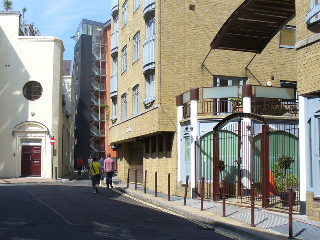
Image: © Colin Smith Taken: 2 Sep 2011
Residential street in the renewed district of Docklands. Many old warehouses have been converted into apartments while many new apartment blocks have also been built like these at River View Heights.
Images are licensed for reuse under creativecommons.org/licenses/by-sa/2.0
Image Location
Latitude
51.501218
Longitude
-0.068241