Mixed Arable Land near Spout House Lane
Introduction
The photograph on this page of Mixed Arable Land near Spout House Lane by Jonathan Clitheroe as part of the Geograph project.
The Geograph project started in 2005 with the aim of publishing, organising and preserving representative images for every square kilometre of Great Britain, Ireland and the Isle of Man.

There are currently over 7.5m images from over 14,400 individuals and you can help contribute to the project by visiting https://www.geograph.org.uk
Mixed Arable Land near Spout House Lane
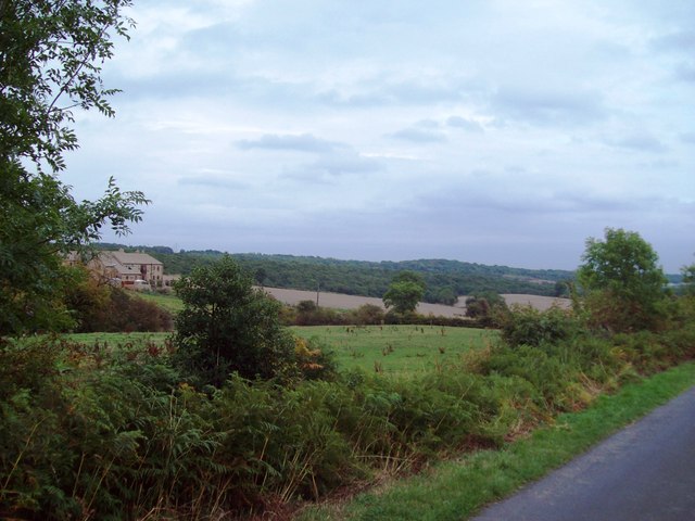
Image: © Jonathan Clitheroe Taken: 3 Sep 2011
Looking east from the lane with Carr House Farm partially visible on the left.
Images are licensed for reuse under creativecommons.org/licenses/by-sa/2.0
Image Location
Latitude
53.482928
Longitude
-1.508256