Glaze Brook Bridge
Introduction
The photograph on this page of Glaze Brook Bridge by Adrian Platt as part of the Geograph project.
The Geograph project started in 2005 with the aim of publishing, organising and preserving representative images for every square kilometre of Great Britain, Ireland and the Isle of Man.

There are currently over 7.5m images from over 14,400 individuals and you can help contribute to the project by visiting https://www.geograph.org.uk
Glaze Brook Bridge
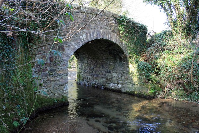
Image: © Adrian Platt Taken: 17 Mar 2009
The lane that crosses this bridge has been truncated by the A38 dual carriageway, originally it led from Glazebrook House to the old main road by the now demolished Woodpecker Inn Image Its main purpose now is to provide road access to Glazebrook Lodge Image and carry the PROW that links the noisy to walk "pavement" along the verge of the A38 up onto Dartmoor past Ladies Wood to Owley and East Peeke. The bridge is Grade II listed, http://www.britishlistedbuildings.co.uk/en-99339
Images are licensed for reuse under creativecommons.org/licenses/by-sa/2.0
Image Location
Latitude
50.415902
Longitude
-3.842396