East End, Wolsingham
Introduction
The photograph on this page of East End, Wolsingham by Andrew Curtis as part of the Geograph project.
The Geograph project started in 2005 with the aim of publishing, organising and preserving representative images for every square kilometre of Great Britain, Ireland and the Isle of Man.

There are currently over 7.5m images from over 14,400 individuals and you can help contribute to the project by visiting https://www.geograph.org.uk
East End, Wolsingham
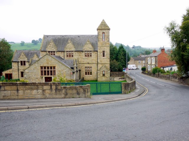
Image: © Andrew Curtis Taken: 2 Sep 2011
Photo taken from the west end of the bridge over the Waskerley Beck. East End is the main road through Weardale (A689). The grand building on the left was formerly the Parish Hall and associated buildings recently converted for residential use.
Images are licensed for reuse under creativecommons.org/licenses/by-sa/2.0
Image Location
Latitude
54.730265
Longitude
-1.880867