Benchmark block in railing enclosure beside Skipton Road
Introduction
The photograph on this page of Benchmark block in railing enclosure beside Skipton Road by Roger Templeman as part of the Geograph project.
The Geograph project started in 2005 with the aim of publishing, organising and preserving representative images for every square kilometre of Great Britain, Ireland and the Isle of Man.

There are currently over 7.5m images from over 14,400 individuals and you can help contribute to the project by visiting https://www.geograph.org.uk
Benchmark block in railing enclosure beside Skipton Road
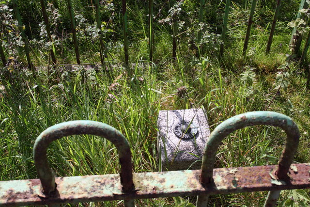
Image: © Roger Templeman Taken: 29 Jul 2011
Ordnance Survey fundamental benchmark described on the Bench Mark Database at http://www.bench-marks.org.uk/bm1147 and at http://www.trigpointinguk.com/trigs/trig-details.php?t=7207
Images are licensed for reuse under creativecommons.org/licenses/by-sa/2.0
Image Location


Leaflet Map data © OpenStreetMap
Latitude
53.968754
Longitude
-2.007586