Wolsingham School & Community College (lower site)
Introduction
The photograph on this page of Wolsingham School & Community College (lower site) by Andrew Curtis as part of the Geograph project.
The Geograph project started in 2005 with the aim of publishing, organising and preserving representative images for every square kilometre of Great Britain, Ireland and the Isle of Man.

There are currently over 7.5m images from over 14,400 individuals and you can help contribute to the project by visiting https://www.geograph.org.uk
Wolsingham School & Community College (lower site)
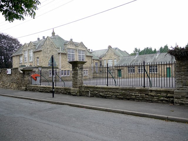
Image: © Andrew Curtis Taken: 2 Sep 2011
There is another view here Image The main school campus is further up Leazes Lane Image
Images are licensed for reuse under creativecommons.org/licenses/by-sa/2.0
Image Location


Leaflet Map data © OpenStreetMap
Latitude
54.730187
Longitude
-1.893134