Widdrington United Reformed Church
Introduction
The photograph on this page of Widdrington United Reformed Church by Maigheach-gheal as part of the Geograph project.
The Geograph project started in 2005 with the aim of publishing, organising and preserving representative images for every square kilometre of Great Britain, Ireland and the Isle of Man.

There are currently over 7.5m images from over 14,400 individuals and you can help contribute to the project by visiting https://www.geograph.org.uk
Widdrington United Reformed Church
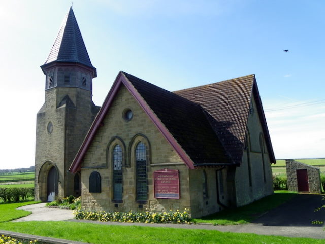
Image: © Maigheach-gheal Taken: 7 Apr 2011
The church, beside the A1068, was founded in 1765.
Images are licensed for reuse under creativecommons.org/licenses/by-sa/2.0
Image Location


Leaflet Map data © OpenStreetMap
Latitude
55.253391
Longitude
-1.602435