Major roadworks on Restricted Byway by Wispers Copse
Introduction
The photograph on this page of Major roadworks on Restricted Byway by Wispers Copse by Dave Spicer as part of the Geograph project.
The Geograph project started in 2005 with the aim of publishing, organising and preserving representative images for every square kilometre of Great Britain, Ireland and the Isle of Man.

There are currently over 7.5m images from over 14,400 individuals and you can help contribute to the project by visiting https://www.geograph.org.uk
Major roadworks on Restricted Byway by Wispers Copse
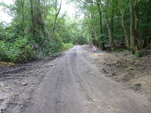
Image: © Dave Spicer Taken: 29 Aug 2011
Long delays are expected at peak times.
Images are licensed for reuse under creativecommons.org/licenses/by-sa/2.0
Image Location


Leaflet Map data © OpenStreetMap
Latitude
51.02062
Longitude
-0.780806