Rough pasture between the Ballymaginaghy Road and the floor of the Leitrim River valley
Introduction
The photograph on this page of Rough pasture between the Ballymaginaghy Road and the floor of the Leitrim River valley by Eric Jones as part of the Geograph project.
The Geograph project started in 2005 with the aim of publishing, organising and preserving representative images for every square kilometre of Great Britain, Ireland and the Isle of Man.

There are currently over 7.5m images from over 14,400 individuals and you can help contribute to the project by visiting https://www.geograph.org.uk
Rough pasture between the Ballymaginaghy Road and the floor of the Leitrim River valley
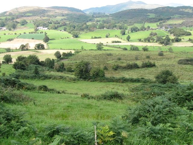
Image: © Eric Jones Taken: 1 Sep 2011
This block of rough pasture which covers a number of fields stands in contrast to the improved land beyond.
Images are licensed for reuse under creativecommons.org/licenses/by-sa/2.0
Image Location
Latitude
54.280587
Longitude
-5.966721