Roedean Road
Introduction
The photograph on this page of Roedean Road by Simon Carey as part of the Geograph project.
The Geograph project started in 2005 with the aim of publishing, organising and preserving representative images for every square kilometre of Great Britain, Ireland and the Isle of Man.

There are currently over 7.5m images from over 14,400 individuals and you can help contribute to the project by visiting https://www.geograph.org.uk
Roedean Road
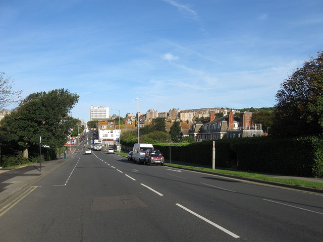
Image: © Simon Carey Taken: 29 Aug 2011
The B2118 heading towards the junction with Arundel Road and Whitehawk Road. Originally built as a replacement for the old coast road to Rottingdean which was closed in 1895 due to continual cliff collapses caused by coastal erosion and remained so until the current Marine Drive was constructed in 1932 simultaneously with the new coastal defences known as the Undercliff Walk. The tall building in the distance is Thomas Kemp Tower, part of the Royal Sussex Hospital.
Images are licensed for reuse under creativecommons.org/licenses/by-sa/2.0
Image Location
Latitude
50.8172
Longitude
-0.106399