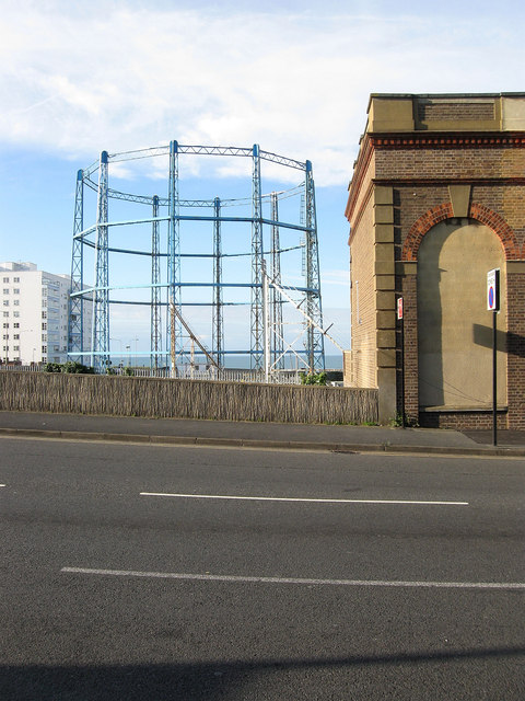
Black Rock Gas Holder
Introduction
The photograph on this page of Black Rock Gas Holder by Simon Carey as part of the Geograph project.
The Geograph project started in 2005 with the aim of publishing, organising and preserving representative images for every square kilometre of Great Britain, Ireland and the Isle of Man.
There are currently over 7.5m images from over 14,400 individuals and you can help contribute to the project by visiting https://www.geograph.org.uk

Image: © Simon Carey Taken: 29 Aug 2011
Viewed from Roedean Road and marking the site where the first gas works of Brighton were constructed, initially just over the boundary in the parish of Ovingdean to avoid a local tax on coal. The site continued producing gas until 1885 when production was concentrated in Portslade and Black Rock was reduced to a storage facility which it still retains today. The building in the background to the left is Marine Gate, both that and the holder were hit by bombs during the Second World war.

