Sign shows bend the wrong way near Triley Mill
Introduction
The photograph on this page of Sign shows bend the wrong way near Triley Mill by Jaggery as part of the Geograph project.
The Geograph project started in 2005 with the aim of publishing, organising and preserving representative images for every square kilometre of Great Britain, Ireland and the Isle of Man.

There are currently over 7.5m images from over 14,400 individuals and you can help contribute to the project by visiting https://www.geograph.org.uk
Sign shows bend the wrong way near Triley Mill
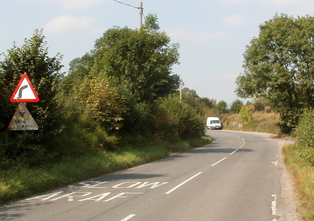
Image: © Jaggery Taken: 1 Sep 2011
Hereford Road ignores the right-bending road shown in the sign, and stubbornly bends to the left ahead. There is a sharp right bend beyond the left bend, so the sign ought to show a Z-bend.
Images are licensed for reuse under creativecommons.org/licenses/by-sa/2.0
Image Location


Leaflet Map data © OpenStreetMap
Latitude
51.848214
Longitude
-3.003093