Upper Sudeley Street
Introduction
The photograph on this page of Upper Sudeley Street by Simon Carey as part of the Geograph project.
The Geograph project started in 2005 with the aim of publishing, organising and preserving representative images for every square kilometre of Great Britain, Ireland and the Isle of Man.

There are currently over 7.5m images from over 14,400 individuals and you can help contribute to the project by visiting https://www.geograph.org.uk
Upper Sudeley Street
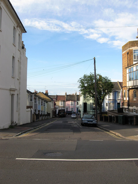
Image: © Simon Carey Taken: 29 Aug 2011
Residential street linking Eastern Road to Sudeley Street. The two buildings on the corner are part of the Royal Sussex Hospital complex.
Images are licensed for reuse under creativecommons.org/licenses/by-sa/2.0
Image Location
Latitude
50.818191
Longitude
-0.117575