The Dolly's Brae Crossroads
Introduction
The photograph on this page of The Dolly's Brae Crossroads by Eric Jones as part of the Geograph project.
The Geograph project started in 2005 with the aim of publishing, organising and preserving representative images for every square kilometre of Great Britain, Ireland and the Isle of Man.

There are currently over 7.5m images from over 14,400 individuals and you can help contribute to the project by visiting https://www.geograph.org.uk
The Dolly's Brae Crossroads
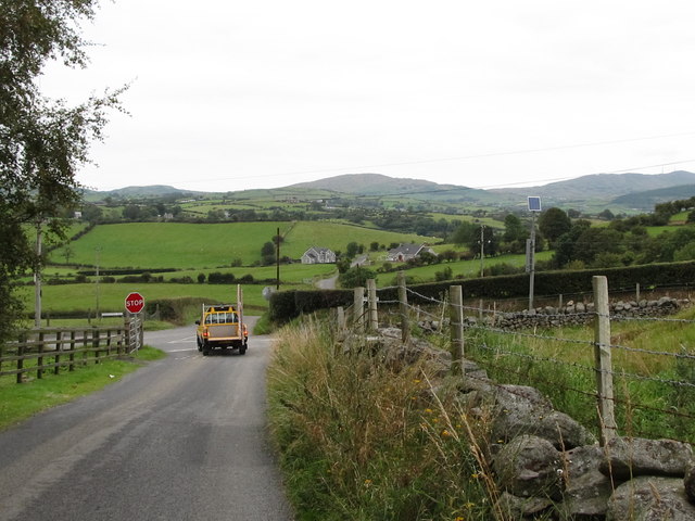
Image: © Eric Jones Taken: 1 Sep 2011
The Magheramayo Road continues northwards of the crossroads. The road to the left is known as Gargarry Road, that on the right as Dolly's Brae.
Images are licensed for reuse under creativecommons.org/licenses/by-sa/2.0
Image Location
Latitude
54.270606
Longitude
-6.014803