2011 : Fields belonging to North Farm
Introduction
The photograph on this page of 2011 : Fields belonging to North Farm by Maurice Pullin as part of the Geograph project.
The Geograph project started in 2005 with the aim of publishing, organising and preserving representative images for every square kilometre of Great Britain, Ireland and the Isle of Man.

There are currently over 7.5m images from over 14,400 individuals and you can help contribute to the project by visiting https://www.geograph.org.uk
2011 : Fields belonging to North Farm
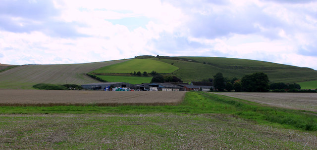
Image: © Maurice Pullin Taken: 24 Aug 2011
Oilseed rape stubble in the foreground and right, wheat waiting for the harvester to the left. North Farm beyond then Scratchbury Hill.
Images are licensed for reuse under creativecommons.org/licenses/by-sa/2.0
Image Location
Latitude
51.204422
Longitude
-2.116893