Railway path near High Moorsley
Introduction
The photograph on this page of Railway path near High Moorsley by Malc McDonald as part of the Geograph project.
The Geograph project started in 2005 with the aim of publishing, organising and preserving representative images for every square kilometre of Great Britain, Ireland and the Isle of Man.

There are currently over 7.5m images from over 14,400 individuals and you can help contribute to the project by visiting https://www.geograph.org.uk
Railway path near High Moorsley
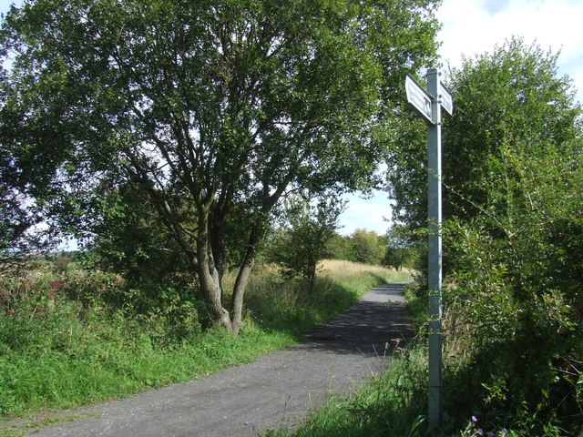
Image: © Malc McDonald Taken: 28 Aug 2011
A bridleway near High Moorsley. The path, which is open to cyclists and horse riders as well as walkers, follows the course of an old railway. The railway had been built to transport minerals from nearby quarries and mines.
Images are licensed for reuse under creativecommons.org/licenses/by-sa/2.0
Image Location
Latitude
54.811424
Longitude
-1.477017