Sunset over Battlesbridge.
Introduction
The photograph on this page of Sunset over Battlesbridge. by TREVOR NORRIS as part of the Geograph project.
The Geograph project started in 2005 with the aim of publishing, organising and preserving representative images for every square kilometre of Great Britain, Ireland and the Isle of Man.

There are currently over 7.5m images from over 14,400 individuals and you can help contribute to the project by visiting https://www.geograph.org.uk
Sunset over Battlesbridge.
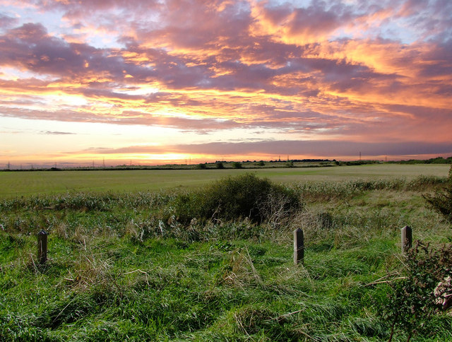
Image: © TREVOR NORRIS Taken: 4 Oct 2006
Evening view from the car park at the end of Marsh Farm Road. The pylons can be seen on the horizon, these trace the B1012.
Images are licensed for reuse under creativecommons.org/licenses/by-sa/2.0
Image Location


Leaflet Map data © OpenStreetMap
Latitude
51.629096
Longitude
0.577593