Carlisle - The Citadel
Introduction
The photograph on this page of Carlisle - The Citadel by John Lucas as part of the Geograph project.
The Geograph project started in 2005 with the aim of publishing, organising and preserving representative images for every square kilometre of Great Britain, Ireland and the Isle of Man.

There are currently over 7.5m images from over 14,400 individuals and you can help contribute to the project by visiting https://www.geograph.org.uk
Carlisle - The Citadel
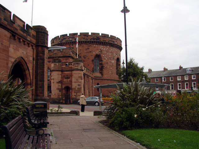
Image: © John Lucas Taken: 4 Oct 2005
The two towers that form the Citadel until recently housed the Carlisle civil and criminal courts. This is a view of the east tower which was the civil court.
Images are licensed for reuse under creativecommons.org/licenses/by-sa/2.0
Image Location
Latitude
54.891634
Longitude
-2.933838